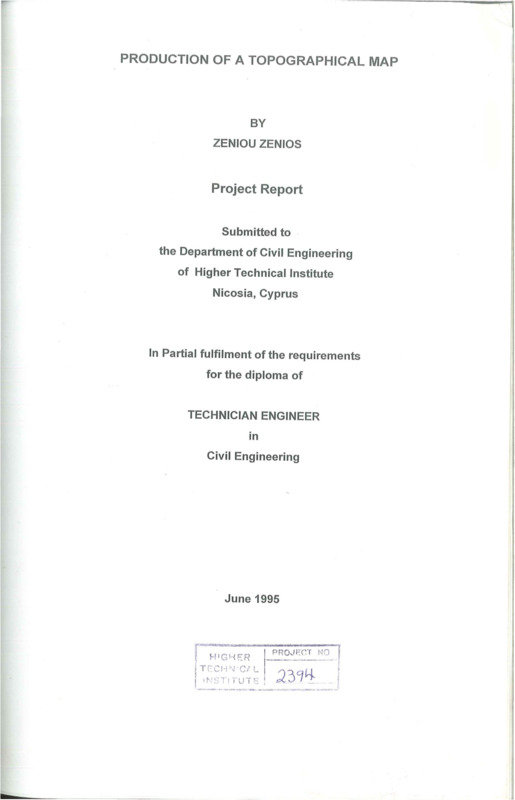
Production of a topographical map
- Τίτλος
-
Production of a topographical map
- Θέμα
- Topographic maps
- Topographical drawing
- Triangulation
- Δημιουργός
-
Zeniou, Zenios
- Πηγή
- Higher Technical Institute
- Το πλήρες κείμενο είναι διαθέσιμο από το Υπουργείο Ενέργειας, Εμπορίου Βιομηχανίας και Τουρισμού.
- Εκδότης
- Library of Cyprus University of Technology
- Ημερομηνία
- 1995
- Συνεισφέρων
- Anastasiades, Klitos
- Δικαιώματα
- Απαγορεύεται η δημοσίευση ή αναπαραγωγή, ηλεκτρονική ή άλλη χωρίς τη γραπτή συγκατάθεση του δημιουργού και κάτοχου των πνευματικών δικαιωμάτων.
- Μορφή
- Γλώσσα
- eng
- Τύπος
- text
- Αναγνωριστικό
-
CED0256
- Σύνοψη
-
The object of this project is to produce a topographical map of an area. The area mapped lies in Monagrouli village.
A selection of the most suitable stations was made after a reconnaissance survey of the area.
The first step was the triangulation and this was done to give a typical example of triangulation when such a method is necessary to be used for fixing stations.
The second step was to take all the existing features, except buildings by the method of tacheometry.
The following step was the chain surveying in which all existing buildings within the boundaries of the area mapped, were taken.
Then the levelling of the station was followed by considering +100.00m height the level of the station A.
The last step was contouring which was based on the levels found from the levelling procedure of the stations. The method used was the grinding and contour lines were drawn at 1.0m intervals.
The following maps were drawn:
A. Triangulation
B. Levelling and Contouring
C.Details
d. Final
- Πολυμέσα
-
 CED0256.pdf
Τμήμα του Production of a topographical map