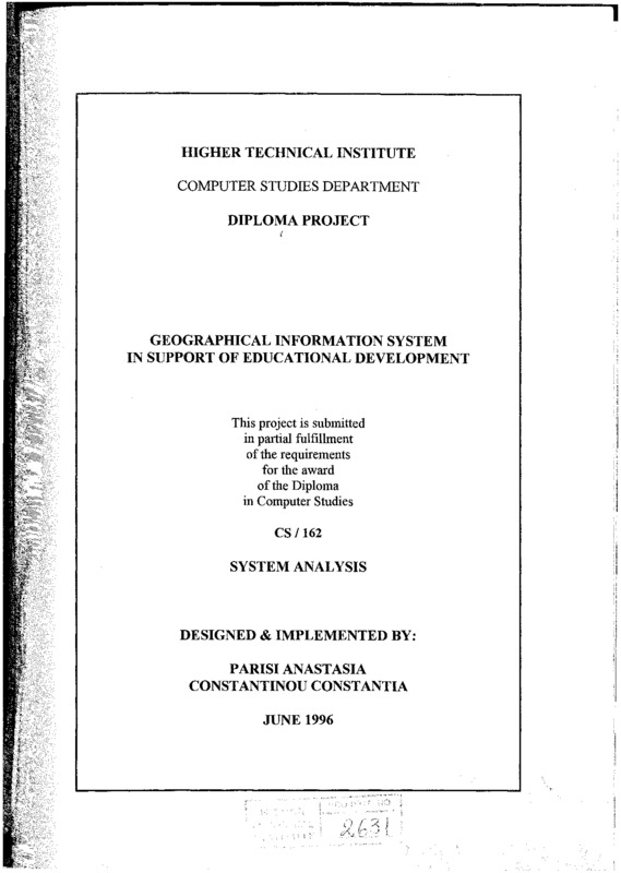
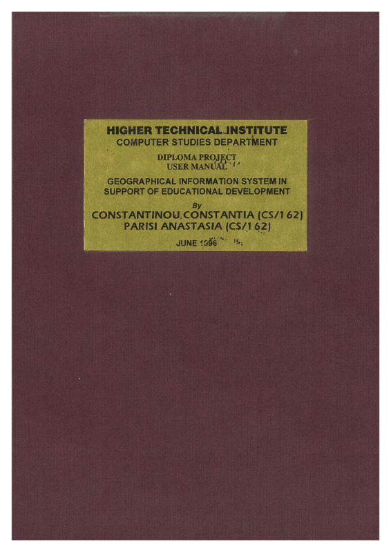
Geographical information system in support of educational development
- Τίτλος
- Geographical information system in support of educational development
- Θέμα
- Geographic information systems
- Education--Statistics
- Computer software--Development
- Education--Data processing
- Education--Cyprus
- Education--Data processing
- Δημιουργός
-
Parisi, Anastasia
- Constantinou, Constantia
- Πηγή
- Higher Technical Institute
- Το πλήρες κείμενο είναι διαθέσιμο από το Υπουργείο Ενέργειας, Εμπορίου Βιομηχανίας και Τουρισμού.
- Εκδότης
- Library of Cyprus University of Technology
- Ημερομηνία
- 1996
- Δικαιώματα
- Απαγορεύεται η δημοσίευση ή αναπαραγωγή, ηλεκτρονική ή άλλη χωρίς τη γραπτή συγκατάθεση του δημιουργού και κάτοχου των πνευματικών δικαιωμάτων.
- Μορφή
- Γλώσσα
- eng
- Τύπος
- text
- Αναγνωριστικό
-
CSD0156
- Σύνοψη
-
The purpose of this project is to provide a Geographical Information System with a Decision Support System for the educational development to all the educational levels (preprimary, primary, secondary, and third level).
Basically, the system will handles some of the decisions of the Ministry of Education. That is, the system will be able to, find out the most appropriate areas for building a school, find out the budget for the building of the school, and also, find out the budget for the functionality of the school. Maps will be provided with these decisions. There will be a general map of Cyprus, and maps for all the towns of Cyprus : Nicosia, Limassol, Lamaca, Paphos, Famagusta, and Kyrenia. Through these maps the user will be able to view information about the schools, about the available areas for building schools, and about demographic information. The user will be able to keep data in the system for the various schools of Cyprus, their school name, the number of students of each school, the number of schools in each area, the available areas for building a school which are given to the ministry of education by Poleodomia, the educational level of each school, the budget which is given to each educational level every year, the male and female population, the population of young couples, the number of students at each level - preprimary, primary, secondary, and third level.
With these data the system will handle some of the decisions of the Ministry of Education which will be manipulated by the users (technocrats, managers, and director).
As referred above the system it will be a geographical information system and a decision support system in support of Educational development. A GIS is an organised of computer hardware and software designed to efficiently create, manipulate, analyse, and display all types of geographically or spatially referenced data. A GIS allows complex spatial operations that are difficult to do otherwise. A decision-support system can handle different kinds of decisions based on certain criteria.
That means the system will take into consideration different kinds of criteria in order to take up a decision. The way it will be handled is the following:
The technocrat can choose from a menu, the input screens for data entry. Also, the managers can use the three decisions screens for evaluating his studies. They can view the output results in different forms: reports, graphs, maps, and statistics.
The reports and graphs must be produced automatically by a user-friendly information system which will interact with the existing databases and retrieve the information required. The system must allow the user to focus on, information of interest.
All the decision will involve geographical information. Except from the decisions the system will create reports, statistics, graphs, and maps. This kind of information must be provided and used by the directors• of the Ministry in order to help them in decision making.
The graphs, statistics and maps would be able to draw the attention of its user to special cases.
Τμήμα του Geographical information system in support of educational development