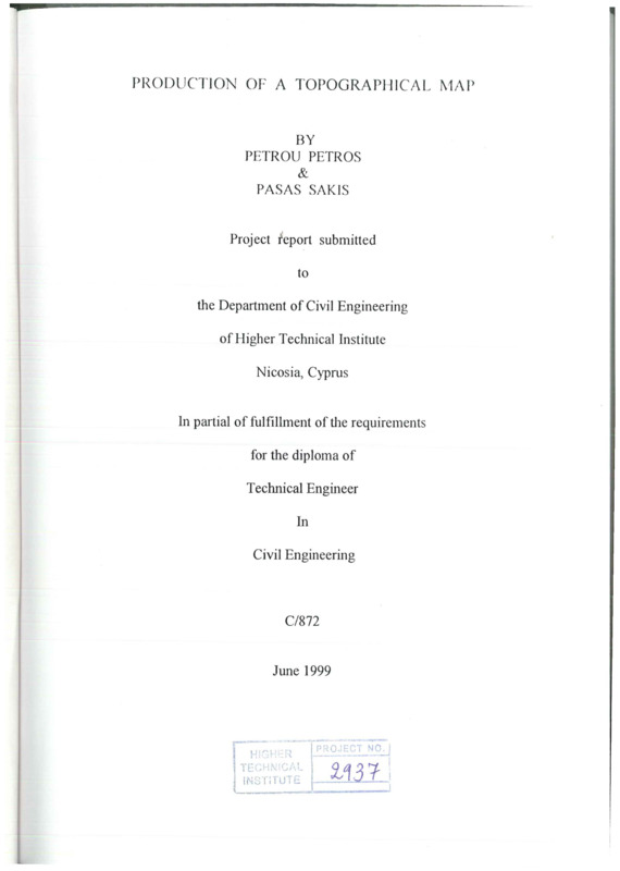
Production of a topographical map
- Τίτλος
-
Production of a topographical map
- Θέμα
- Topographic maps
- Topographical drawing
- Δημιουργός
-
Petrou, Petros
- Pasas, Sakis
- Πηγή
- Higher Technical Institute
- Το πλήρες κείμενο είναι διαθέσιμο από το Υπουργείο Ενέργειας, Εμπορίου Βιομηχανίας και Τουρισμού.
- Εκδότης
- Library of Cyprus University of Technology
- Ημερομηνία
- 1999
- Δικαιώματα
- Απαγορεύεται η δημοσίευση ή αναπαραγωγή, ηλεκτρονική ή άλλη χωρίς τη γραπτή συγκατάθεση του δημιουργού και κάτοχου των πνευματικών δικαιωμάτων.
- Μορφή
- Γλώσσα
- en
- Τύπος
- text
- Αναγνωριστικό
-
CED0366
- Σύνοψη
-
The object of this project is to produce a topographical map of the Higher Technical Institute area.
The selection of the most suitable stations was made after a reconnaissance survey of the area in order to have the better possible view of the features.
The first step was the close traverse survey that was done by using the Theodolite.
The second step was to detailed the area by taking all the existing features using the D14L Distomat.
The following step was the levelling at the following stages
(a) Taking of the level of the stations using the Automatic Level and then calculation of their Reduced Levels (R.L.).
(b) Taking of the level of same characteristic points of the area in order to make the contouring. The level of the points was measured by finding the vertical difference between the points and the stations by using the D14L Distomat.
The last step was the drawing of four maps
(a)Traverse
(b) Detailing of the area
(c) Levelling and contouring
(d) The final map that includes all the informations.
- Πολυμέσα
-
 CED0366.pdf
Τμήμα του Production of a topographical map