-
Τίτλος
-
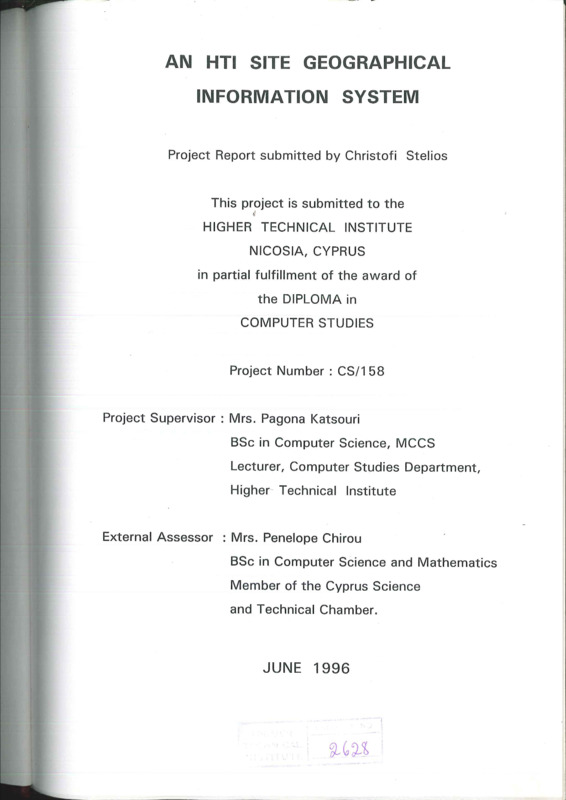
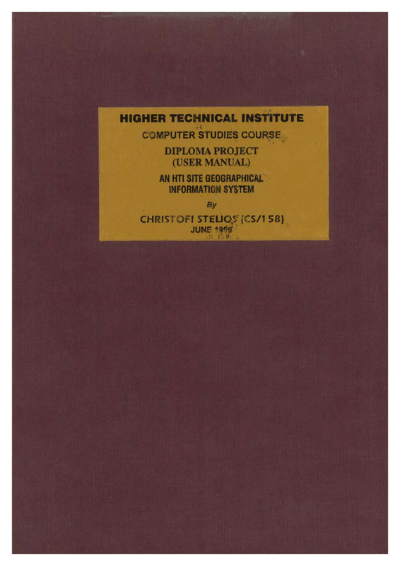
An HTI site geographical information system
-
Θέμα
-
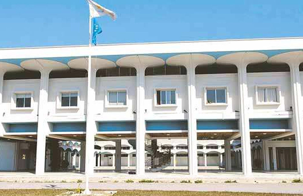
Higher Technical Institute (Nicosia--Cyprus)
-
Computer software--Development
-
Universities and colleges--Administration
-
Δημιουργός
-
Christofi, Stelios
-
Πηγή
-
Higher Technical Institute
-
Εκδότης
-
Το πλήρες κείμενο είναι διαθέσιμο από το Υπουργείο Ενέργειας, Εμπορίου Βιομηχανίας και Τουρισμού.
-
Ημερομηνία
-
1996
-
Συνεισφέρων
-
Katsouri, Pagona
-
Chirou, Penelope
-
Δικαιώματα
-
Απαγορεύεται η δημοσίευση ή αναπαραγωγή, ηλεκτρονική ή άλλη χωρίς τη γραπτή συγκατάθεση του δημιουργού και κάτοχου των πνευματικών δικαιωμάτων.
-
Μορφή
-
pdf
-
Γλώσσα
-
eng
-
Τύπος
-
text
-
Αναγνωριστικό
-
CSD0145
-
Σύνοψη
-
The purpose of this project is to develop a multimedia and informational package to be used as a management application tool for the Higher Technical Institute.
In the information part the supervisor and the general user can manipulate a great deal of information regarding the Higher Technical Institute. That is, the supervisor can update information such as, the employee information, the telephone directory of HTI, the associates, the courses at HTI, the different departments, the research projects, the facilities and societies, the belongings, the offices, the regulations of HTI and finally the curriculum of each department at HTI. The general user on the other hand, has access only to the non confidential information.
Furthermore a number of reports are available in this system.
In the exploration part, the user can see the blueprints of the HTI, can find the way from HTI to the centre of Nicosia using a Map and can explore HTI by using video and sound.
Finally, a separate User's Manual has been developed in order to explain in detail the functions of the system and to help the user to operate the system smoothiy.