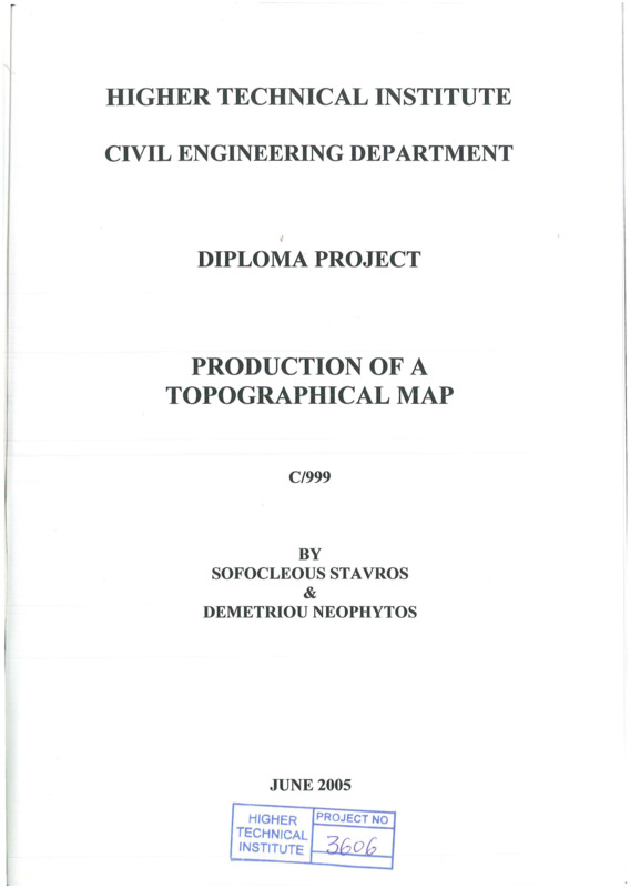
Production of topographical map
- Τίτλος
-
Production of topographical map
- Θέμα
- Topographic maps
- Topographical drawing
- Δημιουργός
-
Sofocleous, Stavros
- Demetriou, Neophytos
- Πηγή
- Higher Technical Institute
- Το πλήρες κείμενο είναι διαθέσιμο από το Υπουργείο Ενέργειας, Εμπορίου Βιομηχανίας και Τουρισμού.
- Εκδότης
- Library of Cyprus University of Technology
- Ημερομηνία
- 2005
- Δικαιώματα
- Απαγορεύεται η δημοσίευση ή αναπαραγωγή, ηλεκτρονική ή άλλη χωρίς τη γραπτή συγκατάθεση του δημιουργού και κάτοχου των πνευματικών δικαιωμάτων.
- Μορφή
- Γλώσσα
- en
- Τύπος
- text
- Αναγνωριστικό
-
CED0404
- Σύνοψη
-
The main purpose of our work was to produce a topographical map of a certain area.
The area is situated near Armenochori village-Limassol (nearby national shooting ground of Limassol).
First, of all we had visited different areas in order to find the most suitable and easier to being there.
Second, we had measured all the sides of the area around the boundaries, pointing the most important stations.
Then, we had made a program of how we will be continued with our work and what instruments we are going to use. We had concluded to use firstly an automatic level for taking levels of different random points (shown on contour map) and second a theodolite so as to measure the angles and distances of certain points. Distances could be taken using automatic level also, but we use the theodolite so as to be more familiar with this instrument.
After that, we had also taken some photographs of the site using our digital camera.
Finally, after we had made all measurements and calculations, the maps were produced using the AUTO-CAD and MICRO STATION (contour map) programs on computer.
- Πολυμέσα
-
 CED0404.pdf
Τμήμα του Production of topographical map