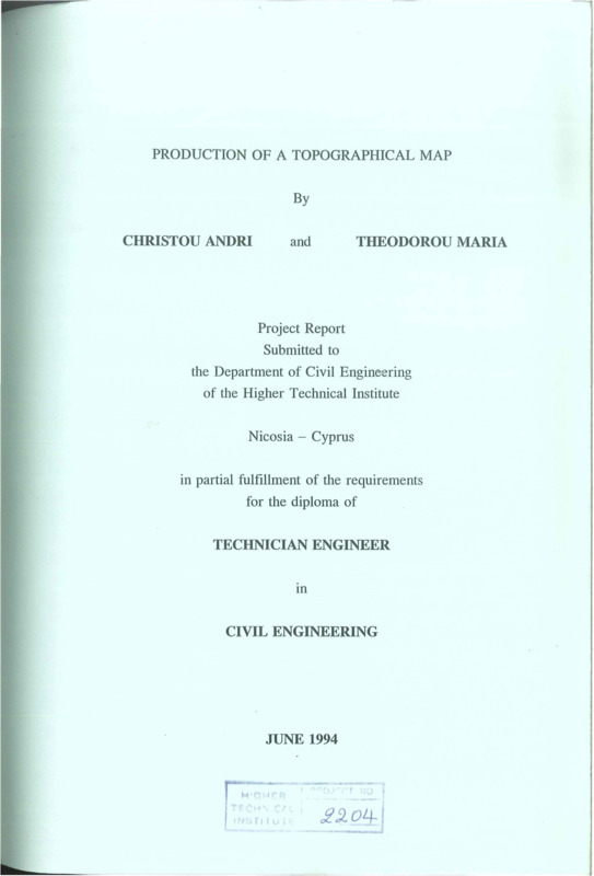
Production of a topographical map
- Τίτλος
-
Production of a topographical map
- Θέμα
- Topographic maps
- Topographical drawing
- Δημιουργός
-
Christou, Andri
- Theodorou, Maria
- Πηγή
- Higher Technical Institute
- Το πλήρες κείμενο είναι διαθέσιμο από το Υπουργείο Ενέργειας, Εμπορίου Βιομηχανίας και Τουρισμού
- Εκδότης
- Library of Cyprus University of Technology
- Ημερομηνία
- 1994
- Συνεισφέρων
- Anastasiades, Klitos
- Δικαιώματα
- Απαγορεύεται η δημοσίευση ή αναπαραγωγή, ηλεκτρονική ή άλλη χωρίς τη γραπτή συγκατάθεση του δημιουργού και κάτοχου των πνευματικών δικαιωμάτων
- Μορφή
- Γλώσσα
- en
- Τύπος
- text
- Αναγνωριστικό
-
CED0211
- Σύνοψη
-
The object of this project is to produce a topographical map of an area 600 x 300 m.
This area lies between the "ΜΜΑΔ" buildings and the back of the Philoxenia Hotel.
The procedure of the project started with a reconnaisance survey of the area and this a selection of the most suitable stations was made.
Chain surveying was the first step. The whole procedure of chain hold three weeks and during this all features existing in the above specified area were taken.
Levelling procedure was followed. For Bench Mark station 17 was used considering its height + 100.000m.
Traverse surveying was the next step. The method of closed traverse was preferable to work with in order to be able to check the readings, by closing the traverse lines at the station 1. Coordinates of the stations were found.
Finally contouring was the last step. The method used for contouring
was the gridding (every 20m). Contour lines were drawn at 1.00m intervals.
By the combination of the above three maps were drawn:
1. Traverse
2. Levelling and Contouring
3. Final map
- Πολυμέσα
-
 CED0211.pdf
Τμήμα του Production of a topographical map